Harrow Point Tower
Cliffside stone beacon known for its early fog bell records and winter watch logs.
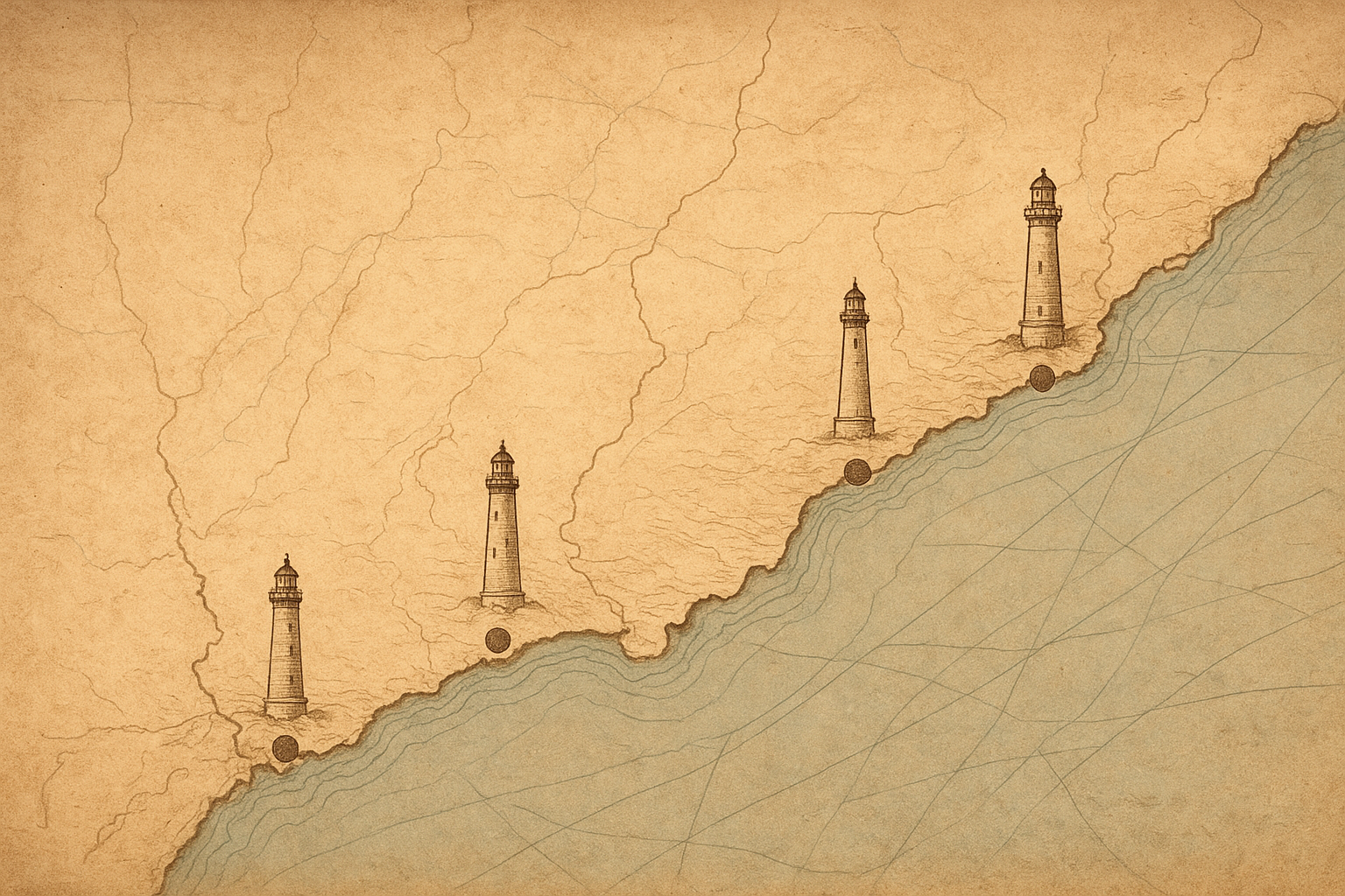
This map traces documented lighthouse sites along the northern coast and groups each marker by current condition so you can read place, history, and survival at a glance.
Preserved Towers Guide
Four preserved sites to begin your map-led journey through coastal lighthouse history.
Cliffside stone beacon known for its early fog bell records and winter watch logs.
A lantern tower overlooking tidal flats, preserved with keeper housing foundations intact.
Brick-and-iron station where navigation lamps were documented through late 19th-century storms.
Offshore tower reached by causeway at low tide, noted for surviving wartime blackout years.